Walking in the Loire Valley: 8 Best Walks Between the Châteaux
Eight marked walks between the Loire châteaux, from Chambord to the cave houses of Turquant, with official distances, a map and car-free access to each start.
Quick links
Don't want to read all this?
We've planned 2,000+ hiking trips. Send your dates, fitness and group size — we'll map the route and book every night.



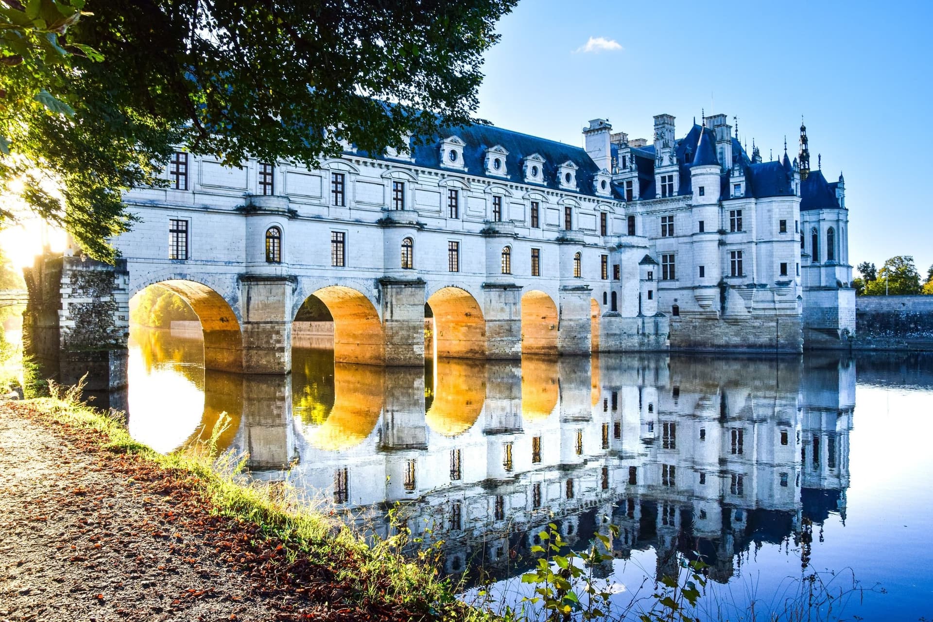
Walking in the Loire Valley means following wide, slow rivers past the châteaux of French kings. Paths run along the flood banks of the Cher and the Loire, through royal forest and up into the vineyards. Near Saumur, houses and workshops are cut into the soft white tufa of the cliffs.
UNESCO lists 280 km of the valley, from Sully-sur-Loire to Chalonnes, and most walks here are loops of 6 to 16 km with little climbing. Trains from Tours stop close to Chenonceau and Amboise, so several walks need no car.
Spring and September suit every walk on the list. The Loire is one of the regions in our guide to walking in France.
The 8 Best Walks in the Loire Valley
The eight walks below are marked routes of 6.1 km to 16 km, numbered from Chambord in the east to Montsoreau in the west.
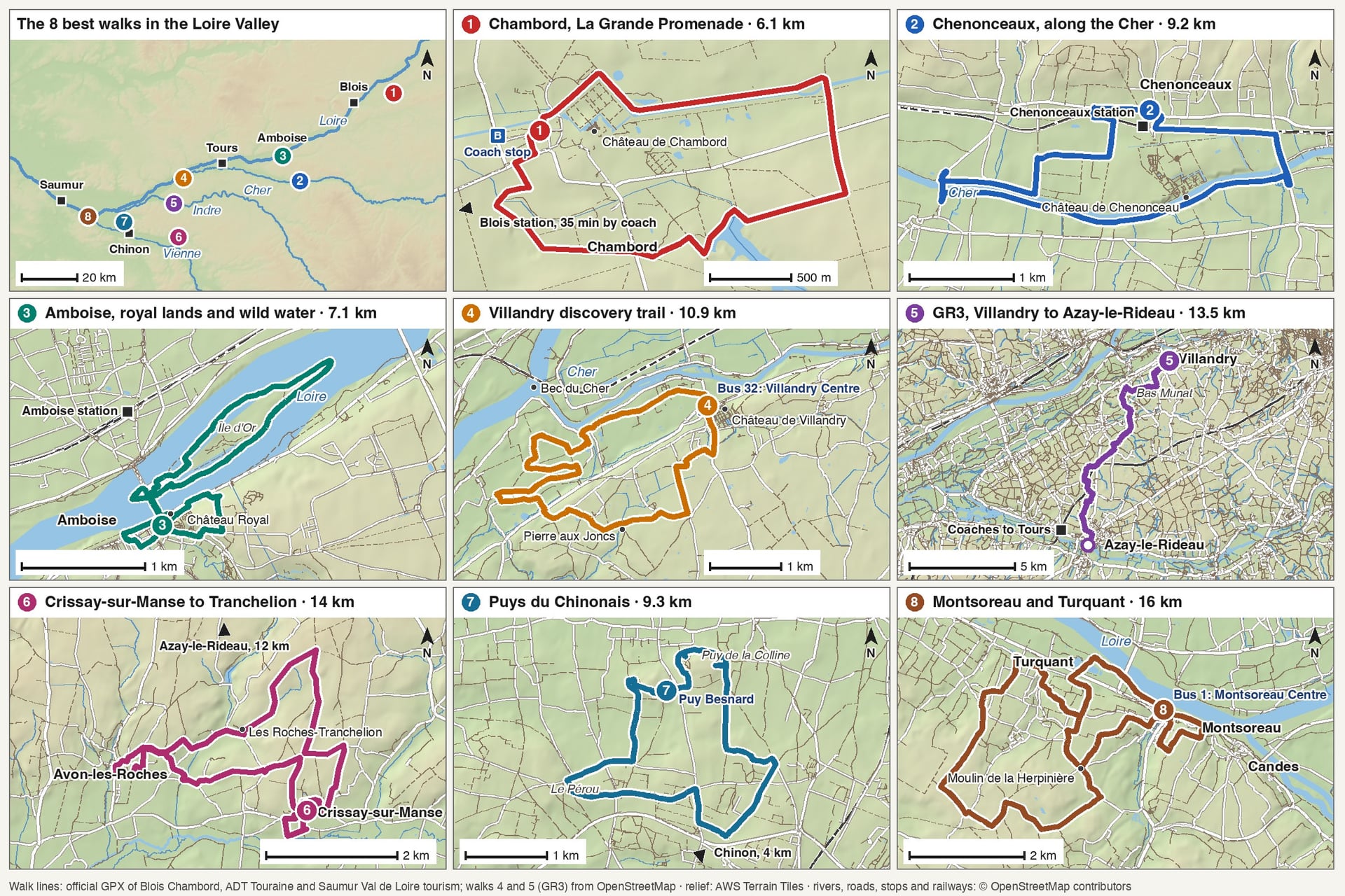
All eight are gentle by mountain standards: the biggest climb is 185 m, and the longest loop takes about 4 hours.
Walk | Distance | Elevation gain | Time | Start |
Chambord, La Grande Promenade | 6.1 km loop | 117 m | 2 h 30 | Château de Chambord |
Chenonceaux, along the Cher | 9.2 km loop | 54 m | 2 h 15 | Chenonceaux village |
Amboise, royal lands and wild water | 7.1 km loop | 81 m | 1 h 45 | Amboise, below the château |
Villandry discovery trail | 10.9 km loop | 66 m | 2 h 45 | Villandry tourist office |
GR3, Villandry to Azay-le-Rideau | 13.5 km one way | Not published | 3 h 15 | Villandry |
Crissay-sur-Manse to Tranchelion | 14 km loop | 185 m | 3 h 30 | Crissay-sur-Manse |
Puys du Chinonais | 9.3 km loop | 41 m | 3 h | Puy Besnard, north of Chinon |
Montsoreau and Turquant | 16 km loop | Not published | 4 h | Montsoreau tourist office |
Choose by the day you have in mind:
A short morning: the Amboise loop, 7.1 km in about 1 hour 45 from the riverside below the château
A full day: the 16 km troglodyte loop from Montsoreau, or the 13.5 km GR3 stage from Villandry to Azay-le-Rideau
No car at all: Chenonceaux, 24 minutes from Tours by train, Amboise, 18 minutes, or Chambord, 35 minutes by coach from Blois
Wild flowers: the Puys du Chinonais, where orchids flower on the dry grassland in spring
A rest day: the 4 km loop at Candes-Saint-Martin, which climbs to a viewpoint over the meeting of the Vienne and the Loire
1. Chambord: La Grande Promenade
Route: La Grande Promenade, a loop from the château through the forest of the estate and back past the canal
Distance: 6.1 km loop, about 2 hours 30
Elevation gain: 117 m by the tourist office's figures, on ground between 75 and 112 m
Terrain: forest tracks and grass paths in the walled park, graded very easy; part of it is not suitable for pushchairs
Getting there: Rémi coach line 2 from Blois-Chambord station at 9.20am and 12.20pm, in about 35 minutes
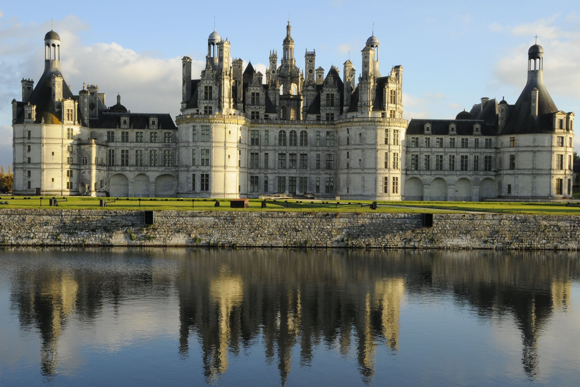
Chambord stands in the largest walled park in Europe, 5,440 ha inside a wall 32 km long. Since 2017, 1,000 ha of forest, meadow and heath have been open to walkers on more than 30 km of paths, and the paths are free to walk.
The 6.1 km Grande Promenade shows the château roofs, the forest and the canal, and the estate map adds loops of 3.7 km, 7.3 km and 8.2 km. The 9.20am coach from Blois arrives at 9.51am, and the 1.10pm or 5pm return leaves time for the château as well.
2. Chenonceau and the Cher
Route: Randonnée sur les bords du Cher, from Chenonceaux village along the left bank of the Cher, past a needle dam and the lock-keeper's house
Distance: 9.2 km loop, about 2 hours 15
Elevation gain: 54 m
Terrain: village lanes, riverbank paths and vineyard tracks, graded easy
Getting there: Chenonceaux station, 24 to 35 minutes from Tours, with 12 trains on a weekday and 9 at weekends
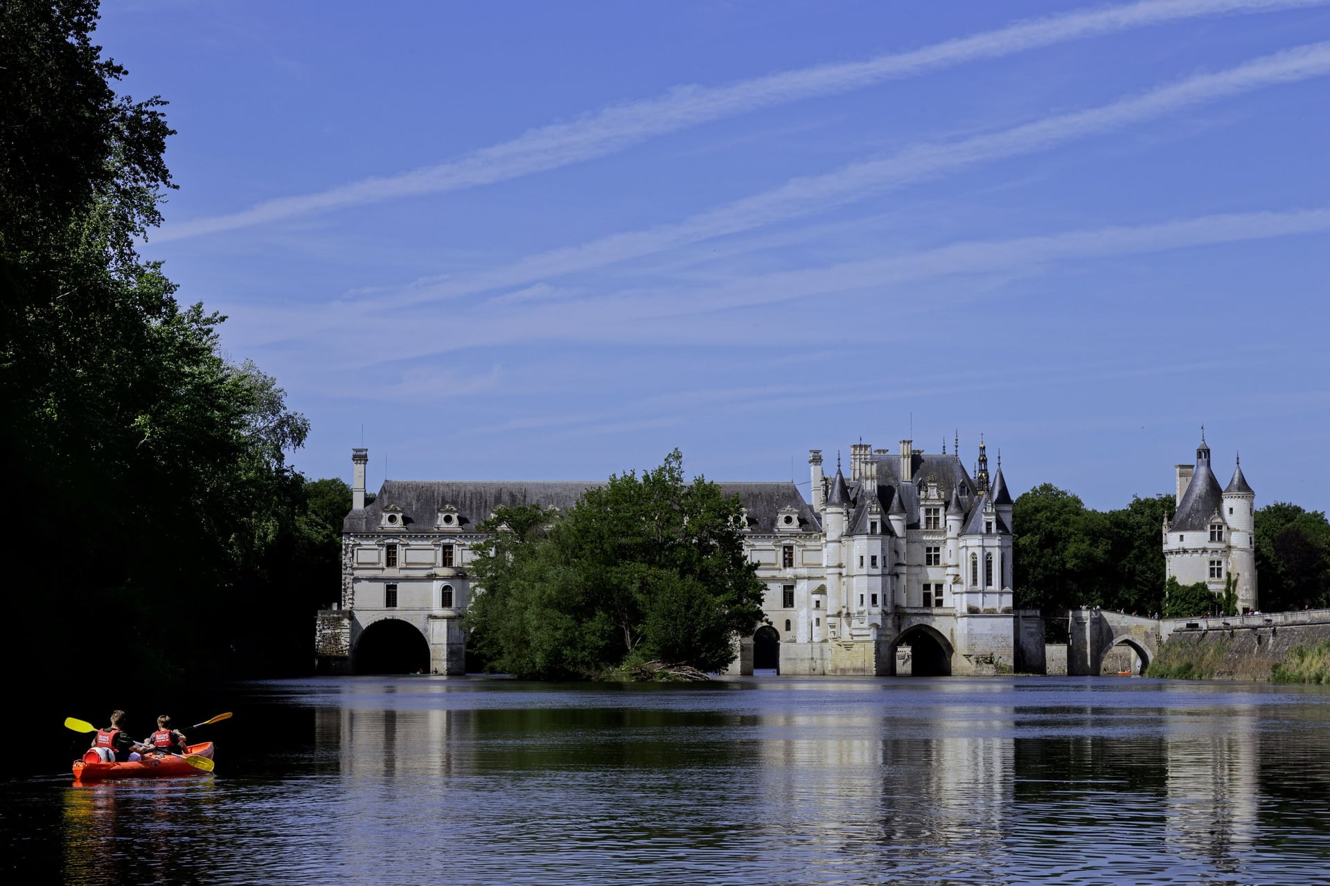
Chenonceau is built across the Cher. Henri II gave the château to his favourite, Diane de Poitiers, and in July 1559, after his death, Catherine de Medici moved in and pushed Diane aside. The 9.2 km village loop follows the riverbank, with views of the château and its covered gallery.
The Cher still has 16 needle dams, old weirs closed with removable wooden posts, and the loop passes one of them before returning by the lock. The station is in the village, 24 minutes from Tours on the fastest train, so the walk and the château fit into one day.
3. Amboise: Royal Lands and Wild Water
Route: Entre Terres Royales et Eaux Sauvages, from the riverside below the château through the old town and across to the Île d'Or, then upstream along the Loire
Distance: 7.1 km loop, about 1 hour 45
Elevation gain: 81 m
Terrain: town streets, riverside paths and island tracks, graded easy
Getting there: Amboise station, 18 to 25 minutes from Tours, with about 24 trains on a weekday
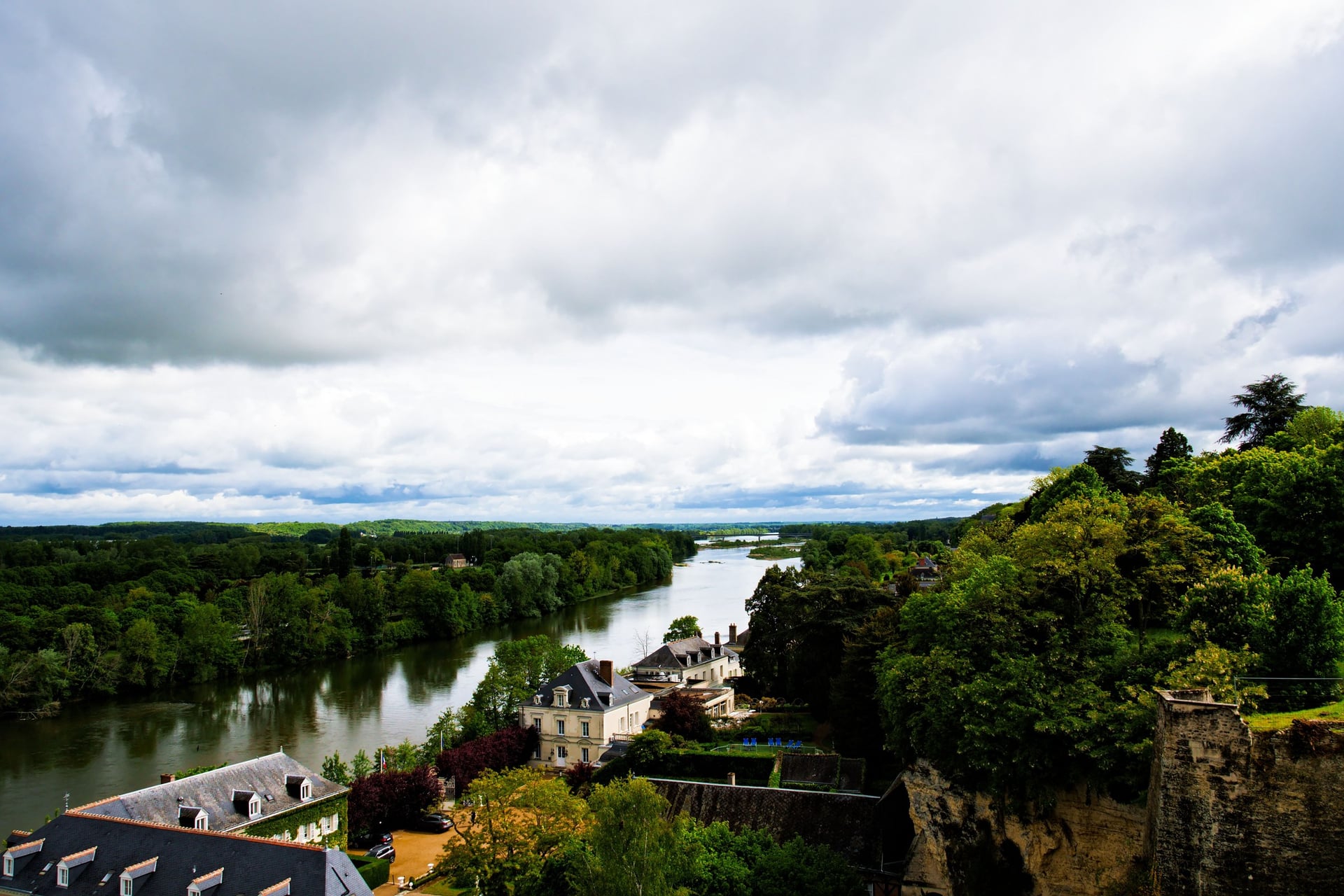
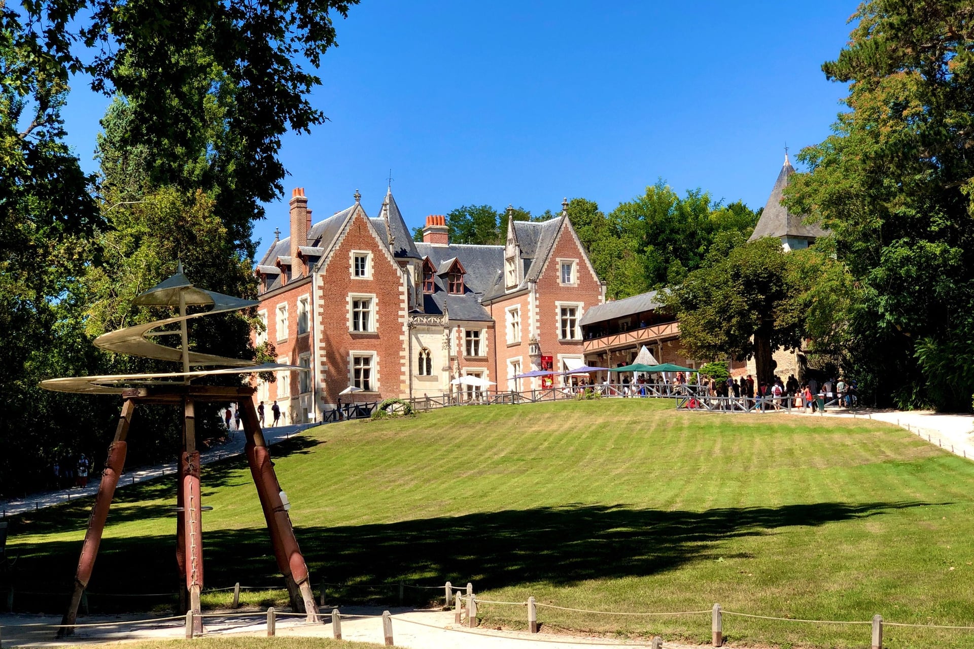
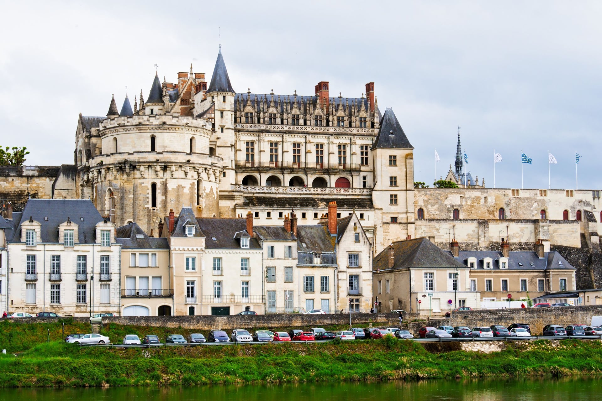
Amboise was a royal town in the Renaissance, and Leonardo da Vinci spent his last three years at the Clos Lucé, from 1516 until his death on 2 May 1519. The 7.1 km loop leaves the Château Royal for the river, where the tourist board's sheet promises sandbanks, herons and even beavers.
Plan the walk for a Friday or Sunday morning, when the town's market fills the Loire bank from 8am. About 90 traders, mostly selling food, set up on Friday, and more than 200 on Sunday.
4. The Villandry Discovery Trail
Route: Sentier découverte de Villandry, from the tourist office along the levées of the Cher and past the Pierre aux Joncs standing stone
Distance: 10.9 km loop, about 2 hours 45, plus 2 km there and back to the Bec du Cher
Elevation gain: 66 m
Terrain: levée tops, field tracks and village lanes, graded easy; take care crossing the RM7 road
Getting there: tram A from Tours station to Fac 2 Lions, then Fil Bleu bus 32 to Villandry Centre, Monday to Friday
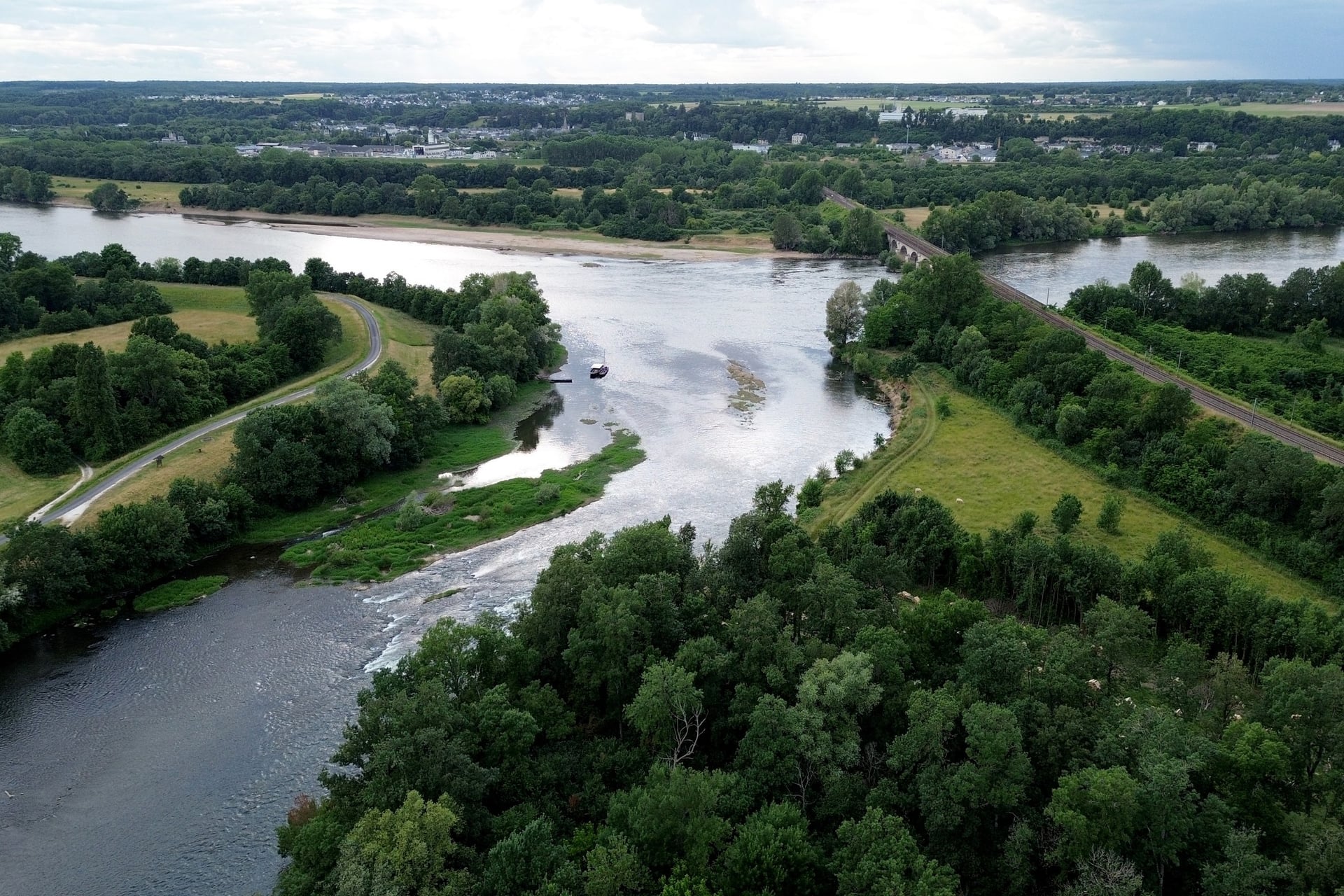
A levée is an earth bank built to hold back floods, and the discovery trail follows those of the Cher for much of its 10.9 km. It shares its first section with the GR3, and a 2 km detour along the levée reaches the Bec du Cher, where the Cher flows into the Loire.
Leave time for the gardens of Villandry, whose kitchen garden is edged with more than 7 km of box and planted twice a year. On weekdays the last bus back leaves at 1.11pm, so stay the night or come on a Sunday, when booked Résabus runs leave Tours at 2.18pm and return at 6.06pm.
5. The GR3 From Villandry to Azay-le-Rideau
Route: the GR3 stage from Villandry up past the Pierre aux Joncs and the hamlet of Bas Munat, then through woodland to Azay-le-Rideau
Distance: 13.5 km one way, about 3 hours 15
Elevation gain: not published; the path stays between about 45 and 100 m above sea level
Terrain: a road climb out of Villandry, then field tracks and woodland paths, with white-and-red GR waymarks
Getting there: bus 32 to Villandry on weekdays; from Azay-le-Rideau, replacement coaches reach Tours in 35 minutes until February 2027
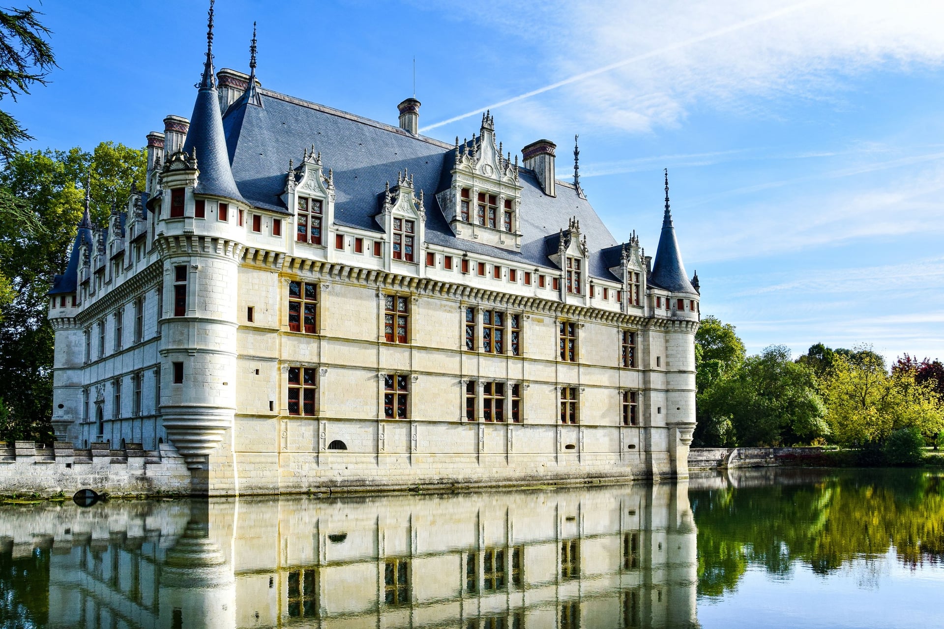
The GR3 was France's first official long-distance path: its first section opened in 1947, and the whole route was inaugurated in April 1977. It runs 1,243 km in 52 stages from Mont Gerbier-de-Jonc, where the Loire rises, to La Baule.
Between Tours and Candes, the GR3 leaves the Loire for its tributaries: the Cher, the Indre and the Vienne. This 13.5 km stage in Touraine opens with a view over both rivers, and the next 28 km to Chinon split at Saint-Benoît-la-Forêt. Cyclists use the separate 900 km Loire à Vélo.
6. Crissay-sur-Manse and Les Roches-Tranchelion
Route: Crissay-sur-Manse, Avon-les-Roches, Tranchelion, from the edge of Crissay through the forest to Les Roches-Tranchelion and Avon-les-Roches, back past vineyards
Distance: 14 km loop, about 3 hours 30
Elevation gain: 185 m
Terrain: village lanes, about 1.7 km of forest path, then field and vineyard tracks, with red waymarks; graded moderate
Getting there: no bus; Crissay is about 12 km south of Azay-le-Rideau, so take a taxi from there
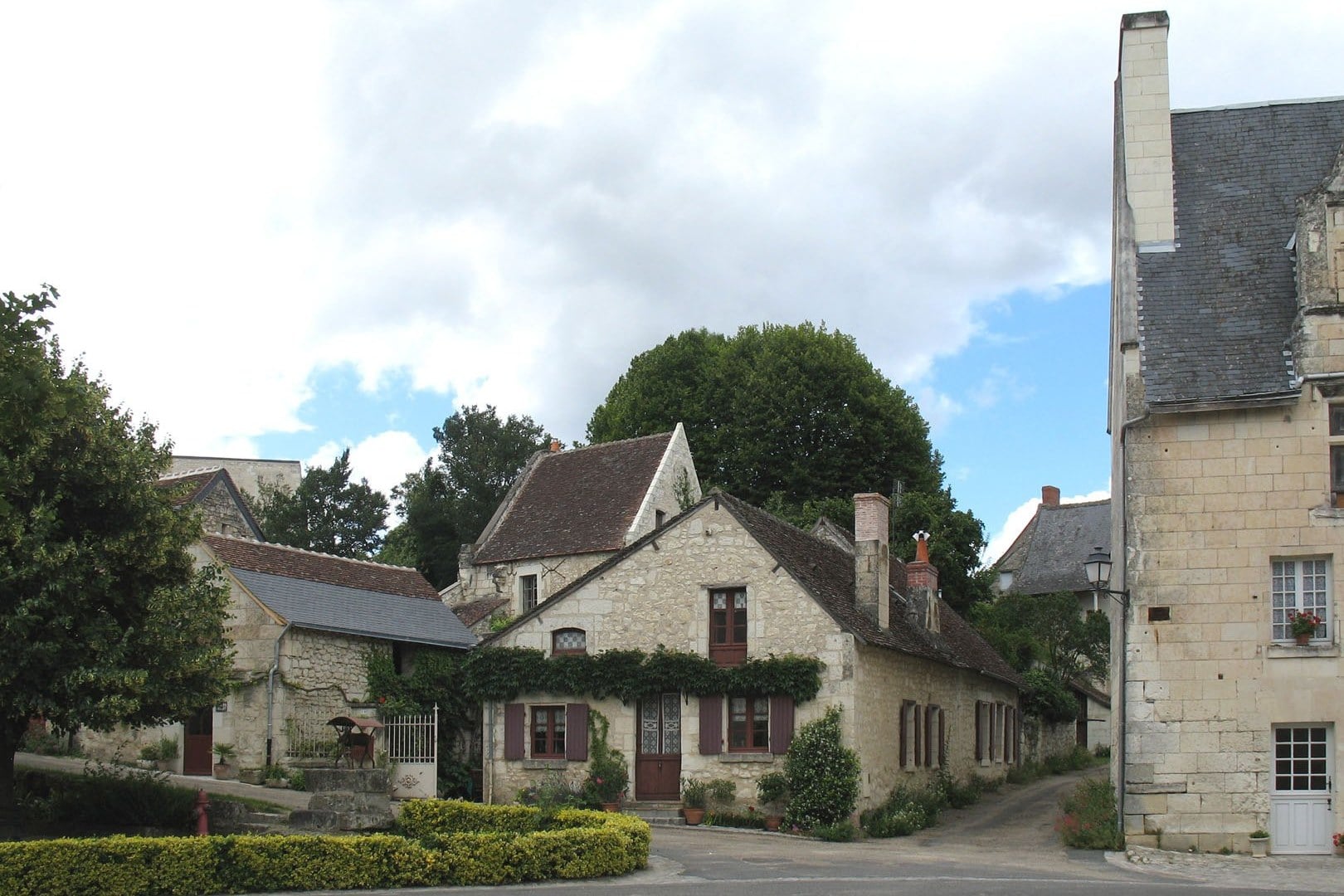
Crissay-sur-Manse is a small village of tufa houses in the Manse valley, and one of the Plus Beaux Villages de France. After about 1.7 km of forest, the 14 km Crissay loop reaches a "rue chaude", a lane of old troglodyte houses, then the ruined collegiate church of Les Roches-Tranchelion, founded in 1527.
The church's vaults rise more than 12 m, and its front mixes late Gothic and early Renaissance carving; the ruins are privately owned. In Avon-les-Roches, the path passes three of the village's nine wash-houses, and a cemetery holds the graves of 78 Belgian soldiers of the First World War.
7. The Puys du Chinonais
Route: Les Puys du Chinonais, from Puy Besnard north of Chinon across a chain of low limestone hills, with a 3 km short loop
Distance: 9.3 km loop, about 3 hours
Elevation gain: 41 m
Terrain: grass and woodland paths along the edge of the Chinon vineyards, with yellow waymarks; graded easy
Getting there: about 4 km north of central Chinon, signposted from the ring road; no bus, and no trains to Chinon until 26 February 2027
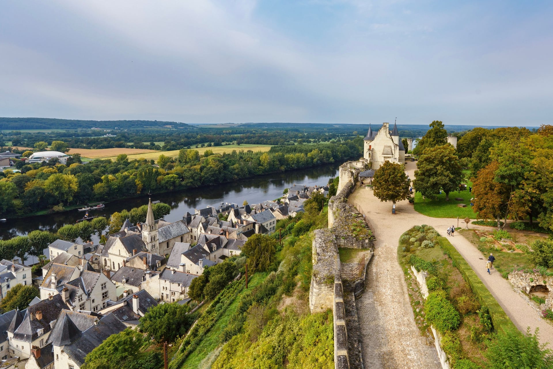
A puy, from the Latin podium, is a low hill, and the 9.3 km loop crosses a chain of them. Their dry grassland and warm woods hold plants and insects more usual around the Mediterranean. The département protects 43.5 ha as a natural area, and sheep grazing keeps the grassland open.
Wild orchids flower on Puy Besnard in spring, and a 3 km short loop covers it and the Puy de la Colline. Further on are Roman road ruts, a ruined cave windmill and troglodyte dwellings dug around the 14th century. On the protected land, keep your dog on a lead at all times.
8. Montsoreau and the Troglodytes of Turquant
Route: Un village et son château entre Loire et troglodytes, along the Loire to Turquant, through the vineyards to the Fontevraud forest and back by two windmills
Distance: 16 km loop, 3 hours 30 to 4 hours, with shorter variants of about 9 to 10 km
Elevation gain: not published; one climb of about 70 m from the river to the vineyard plateau
Terrain: a riverbank path, village lanes and slate steps, then vineyard and forest tracks, with blue waymarks; graded moderate
Getting there: Ogalo bus line 1 from Saumur to Montsoreau Centre in about 25 minutes, Monday to Saturday
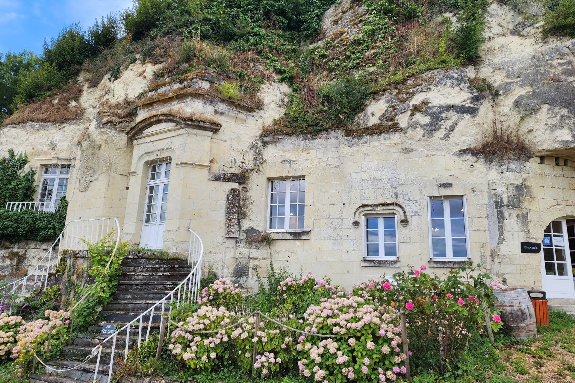
Between Saumur and Montsoreau, the hillside is hollowed out by old quarries, and the Saumur tourist office counts more than 1,200 km of galleries cut by hand. Quarrymen, winegrowers and Loire boatmen once lived in the houses built into the cliff.
The 16 km troglodyte loop follows the Loire for 2.3 km to Turquant, where craftspeople now work in the restored caves from March to December. The riverbank path floods when the Loire is high. At Candes-Saint-Martin, 1 km upstream, a 4 km loop of about 1 hour climbs to a viewpoint over the confluence.
How Hard Is Walking in the Loire Valley?
Walking in the Loire Valley is easy to moderate: the climbs are short, and the long days are the hard part.
Long Days on Flat Ground
The loops on the list climb 41 to 185 m, and none takes more than 4 hours. Linking towns on foot is a different matter: the GR3 stages in Touraine run from 12 to 20 km, and the 28 km from Azay-le-Rideau to Chinon is a full day.
Trains and coaches let you shorten a stage at a station, so plan the long days around their timetables.
Levées, Forest Tracks and Tufa Lanes
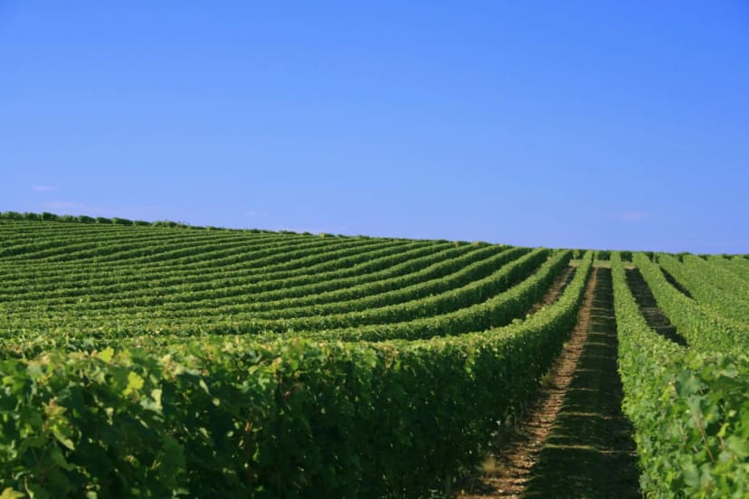
Much of the walking is on the levées along the Cher and the Loire, and on sandy or gravel tracks such as those at Chambord. Near Saumur and Chinon, lanes and slate steps climb between tufa houses to the vineyards above the rivers.
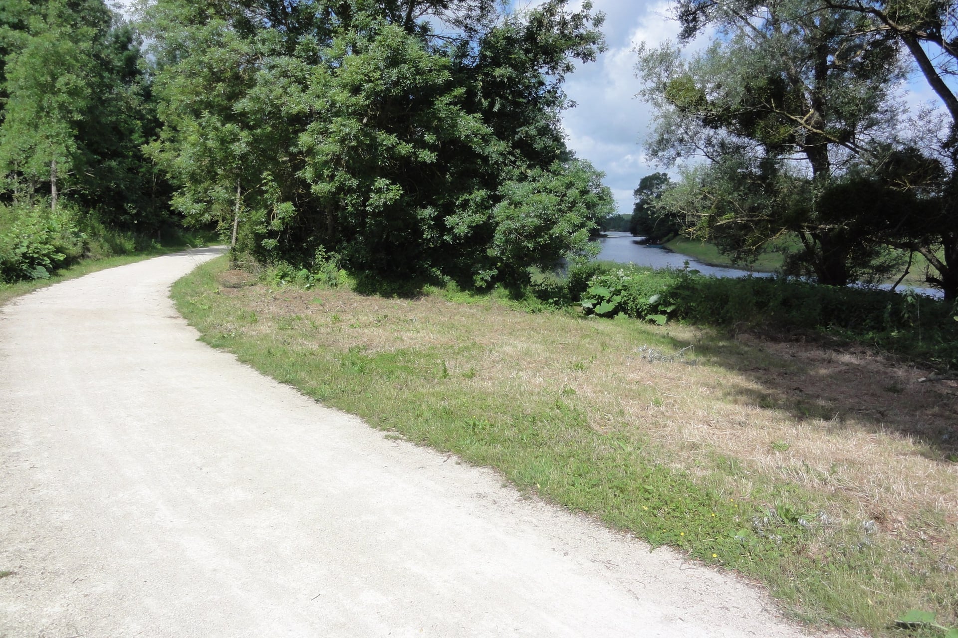
The levées have little shade, and Tours averages about 5 days above 30 °C in both July and August. Riverbank paths can flood: the Montsoreau sheet warns that its Loire-bank section is impassable when the river is high.
Waymarks and Maps
FFRandonnée, the French walking federation, marks its GR long-distance paths in white over red and its PR day walks in yellow. Some local loops use their own colours, so check the colour on the walk's sheet: red at Crissay and blue at Montsoreau.
The tourist boards publish a GPS track for most walks on the list, so download it before you set off. On paper, IGN's 1:25,000 sheets are 1723ET for Chinon, Azay-le-Rideau and Villandry, 1922SB for Amboise and Chenonceaux, 2121OT for Chambord and 1623ET for Saumur and Montsoreau.
Best Time to Walk in the Loire Valley
The walking season runs from April to October, and what changes most through it is the heat on the open levées.
Average highs, rainy days and sunshine come from Météo-France's Tours station, 1991 to 2020:
Month | Average high | Rainy days | What changes |
April | 16 °C | 9 | Cool nights; the spring planting at Villandry lasts from March to June |
May | 20 °C | 9 | 214 hours of sunshine, and orchids on the Puys du Chinonais |
June | 23 °C | 8 | The summer planting starts at Villandry and stays until November |
July and August | 26 °C | 7 | About 5 days a month above 30 °C; Amboise night market on Tuesdays |
September | 22 °C | 8 | Warm days and fewer rainy days than in spring |
October | 17 °C | 10 | The wettest month, with 66 mm of rain |
For most walkers, May, June and September are the best months. In July and August, start early on the open levées and carry more water.
Know Before You Arrive
Most of these walks can be reached without a car, as long as you know which lines run and when.
Getting There and Around Without a Car
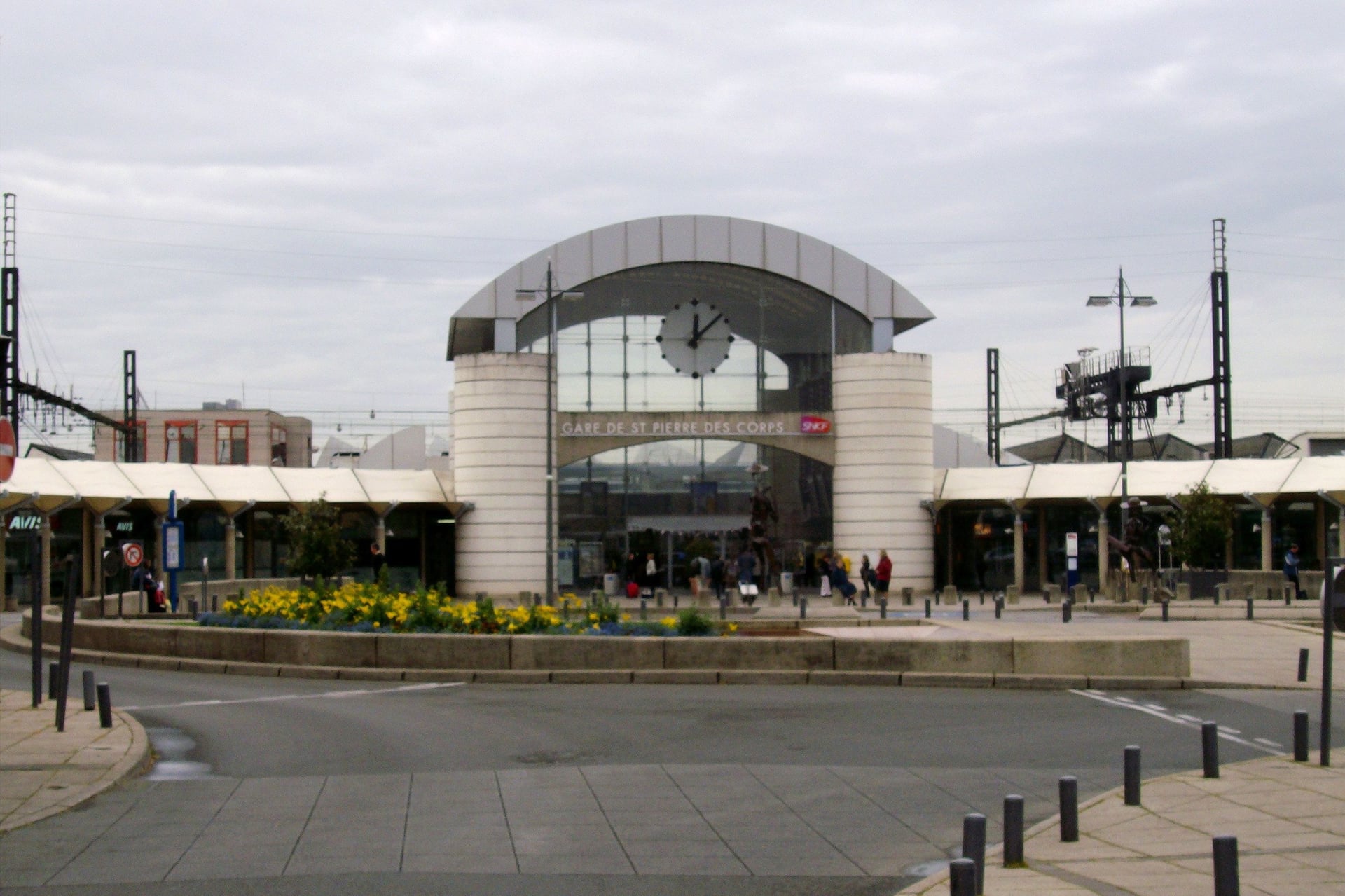
Tours is the rail hub for the Loire walks. TGVs from Paris Montparnasse reach Saint-Pierre-des-Corps, next to Tours, in 56 minutes at best, and shuttle trains cover the last 4 to 7 minutes into Tours.
By train:
London to Paris: Eurostar in 2 hours 16 at best
Paris Montparnasse to Saint-Pierre-des-Corps: about 14 to 18 TGVs a day, 56 to 65 minutes
Paris-Charles de Gaulle airport to Saint-Pierre-des-Corps: 5 or 6 direct TGVs a day, from 1 hour 44
Paris Austerlitz to Blois-Chambord: from 1 hour 23
Tours to Amboise and Chenonceaux: 18 to 25 minutes and 24 to 35 minutes
Tours to Saumur: 31 to 49 minutes, with 13 trains on a weekday
Until 26 February 2027, the Tours to Chinon railway is closed for works. Replacement coaches run 10 or 11 times each way on weekdays and about 5 times a day at weekends, and every coach stops at Azay-le-Rideau. The direct coach takes 60 minutes from Tours to Chinon; buy the ticket before you board.
By bus and plane:
Blois to Chambord: Rémi coach line 2 from Blois-Chambord station, twice a day each way, every day of the year
Tours to Villandry: tram A to Fac 2 Lions, then bus 32, Monday to Friday; on Sundays two Résabus runs must be booked
Saumur to Montsoreau: Ogalo line 1, Monday to Saturday, about 25 minutes; some runs must be booked by phone
From London Stansted: Ryanair flies to Tours on Wednesdays and Sundays from 22 March to 24 October 2026, with no winter flights. Bus 2 runs from the terminal to Tours station in 12 to 18 minutes
From the USA: fly to Paris-Charles de Gaulle and take a direct TGV from the airport to Saint-Pierre-des-Corps
Where to Base Yourself
Your base decides which walks you can reach without a car, and Tours reaches the most of them by train, tram, bus or coach.
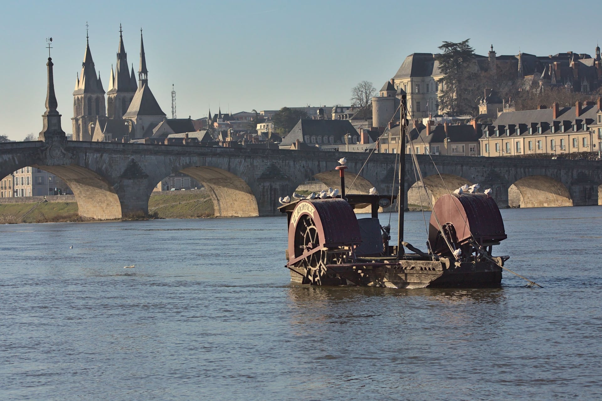
Tours: trains to Amboise, Chenonceaux, Blois and Saumur, tram A and bus 32 to Villandry, and the coaches to Azay-le-Rideau and Chinon
Amboise: walk 3 from the door, trains to Tours in 18 to 25 minutes, and markets on Friday and Sunday mornings
Blois: the Rémi coach to Chambord for walk 1, and trains to Tours and Paris Austerlitz
Chinon: walk 7 about 4 km north of town, coaches to Tours while the railway is closed, and a market on Thursdays
Saumur: Ogalo bus 1 to Montsoreau for walk 8, trains to Tours, and the main market on Saturdays
Azay-le-Rideau: the end of walk 5 and the nearest town to Crissay, with every Chinon coach stopping in town
Food and Wine on the Way
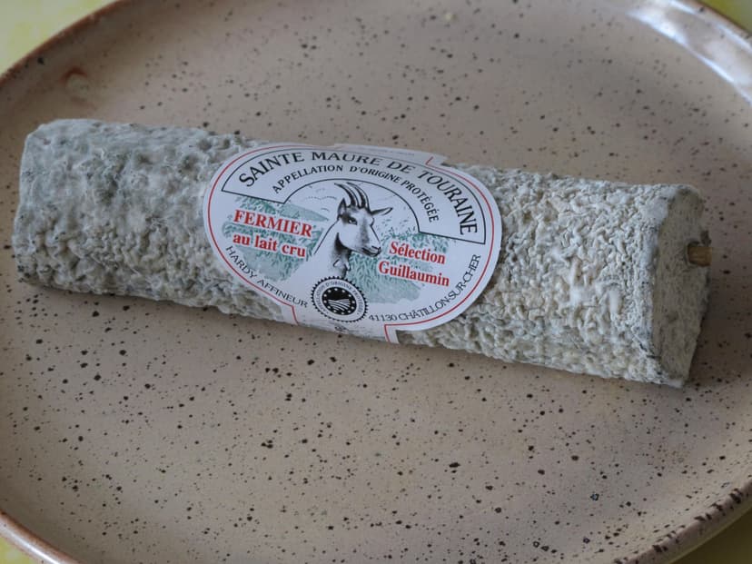
Market mornings set the walker's picnic, so plan a long walk around a market day: Chinon on Thursday, Amboise on Friday and Sunday, Saumur on Saturday and Montsoreau on Sunday by the Loire. These four local products turn up on the stalls and menus between Chinon and Amboise.
How Much It Costs
The walks themselves are free, so the money goes on château tickets, local buses and beds.
These are 2026 prices for adults:
Château de Chenonceau: €19
Château du Clos Lucé, Amboise: €20, or €25 during the summer exhibition from 6 June to 13 September
Château Royal d'Amboise: €17.30
Château d'Azay-le-Rideau: €16 from April to September, €13 from October to March
Forteresse royale de Chinon: €12.50
Château de Villandry: €8.50 for the gardens, €14 with the château
Château de Chambord: €21 for residents of the European Economic Area, €31 for other visitors; parking €8 a day
Château de Montsoreau: €12
Buses: €3.40 on the Chambord coach, €1.80 on Fil Bleu (€2 bought on board) and €2 on Ogalo
Tourist tax: €1.06 to €1.87 a night in a 3-star hotel in Chinon, Saumur, Amboise and Tours
IGN 1:25,000 maps: €14.30 a sheet
What to Pack
Long days on open levées, summer sun and showers in spring and autumn set the kit for the Loire.
For any walk:
Walking shoes or light boots that you have already worn in
A light rain jacket, as October brings 66 mm of rain at Tours
A 20 to 25 litre day pack with a warm layer for spring mornings
A phone with the GPS tracks and a power bank
For the Loire:
1.5 litres of water each, more in July and August on the levées
A sun hat and sun cream for the long stretches without shade
Insect repellent for the riverbanks in summer
A lead for your dog on the protected Puys du Chinonais
The day's train and coach times, above all for Villandry, Chambord and Chinon
A Walking Week, or Day Walks by Train From Tours?
Day walks from Tours work well at Chenonceaux and Amboise, which have their own stations and frequent trains.
Elsewhere it gets harder. Bus 32 reaches Villandry on weekdays but has no return after 1.11pm, and Chinon is off the railway until 26 February 2027. On foot, linking the châteaux means stages of 12 to 28 km with your bags on your back.
Our self-guided Loire Valley Walking Tour links the châteaux on foot and moves your bags for you.
Duration: 7 days / 6 nights, April to October
Route: Chinon to Amboise, through Azay-le-Rideau, Villandry, Tours and Chenonceaux
Walking: four days of 12 to 24.5 km, 73.5 km and 540 m of climbing in all, with a train to Chenonceaux and a free day in Amboise
Nights: 3-star hotels with breakfast
We book the hotels, move your luggage each day and give you a GPS app, a digital guidebook and support while you walk; the tourist tax is paid locally. The longest day, 24.5 km from Chinon to Azay-le-Rideau, can be shortened by the replacement coach until the line reopens.
Ask us about dates for next season. Other regions are in the full list of our walking holidays in France.
The week ends in Amboise, where the Château Royal looks down on the Loire and Leonardo da Vinci's last home, the Clos Lucé, stands a few minutes' walk away.
Frequently Asked Questions



Plan with a hiking expert
Free advice from a team that knows these routes inside out - real people, not a bot

HASSLE-FREE
We handle itineraries, accommodations, and anything else you prefer not to deal with, so you can enjoy a carefree hike.

TRUSTED BY MANY
We are a financially protected company, fully bonded and insured, keeping your money safe and allowing you to travel with confidence.

TRIED & TESTED ADVENTURES
Only the best walking tours in France, cherry-picked by our team with an in-depth knowledge of the region.

UNBEATABLE SUPPORT
Our 24/7 customer support is where we show our passion, bringing you a better experience by making your well-being our number one priority.